
Çanakkale Onsekiz Mart Üniversitesi
İnsan ve Toplum Bilimleri Fakültesi Coğrafya Bölümü
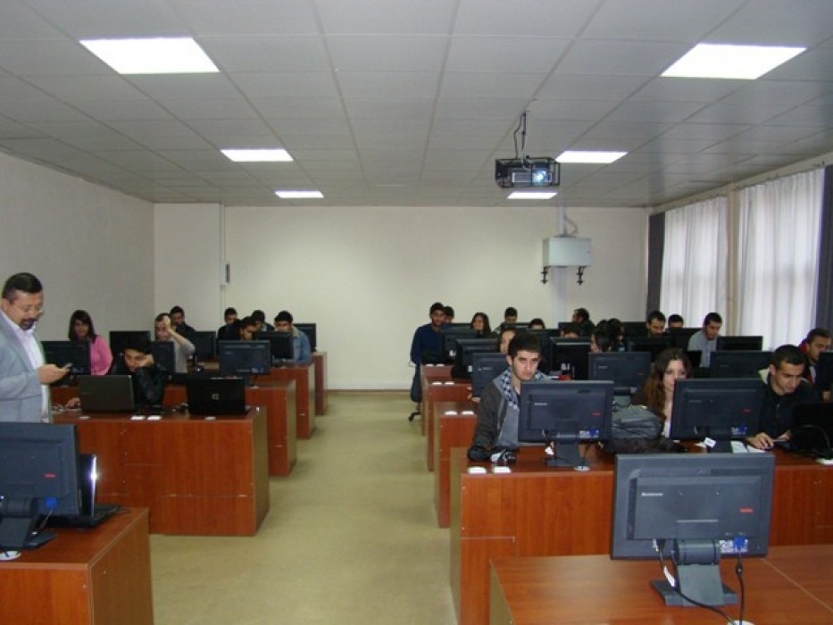
The Geographic Information Systems and Data Analysis Laboratory (L2) covers an area of 107 m2 and is primarily used for data collection and analysis, building upon the foundation provided by L1. The 'Geographic Information Systems and Data Analysis Laboratory' was established to align with the department's revised curriculum (undergraduate, graduate, and doctoral programs) and to support them. The activities conducted in L2 as part of our department's curriculum have been outlined in previous schedules.
This laboratory is designed to facilitate contemporary research and applications related to Geographic Information Systems (GIS), climatological/meteorological studies, and statistical data analysis. It aims to support theoretical and applied research at the local, national, and global levels within our department through GIS and remote sensing studies. This will enable better tracking and analysis of the scientific knowledge accumulation, which is assumed to increase by 20% annually worldwide.
In addition to providing a conducive environment for the healthy execution of national and international projects undertaken by our department's academic staff, the laboratory also opens up opportunities for Geography Department students to utilize their professional skills in public institutions. In the initial phase, the objective is to establish a digital geographic database for the city of Çanakkale.
The CBS and Data Analysis Laboratory is equipped with hardware (computers) and software that can accommodate a minimum of 35 students simultaneously, in line with the laboratory's original purpose.
Software Used in Geographic Information Systems at L2 and Supporting Companies
| Software | Supporting Company |
|---|---|
| MapInfo 8.5 | Başar Bilgisayar Sistemleri Ltd. Şti. |
| NETCAD 5.0 | ULUSAL CAD ve GIS Çözümleri A.Ş |
| ArcGıs 9.2 | İSLEM Şirketler grubu |
| L2 Equipment List | |
| 35 Desktop Computers | |
| Projector | |
| A3 Scanner | |
| Software |